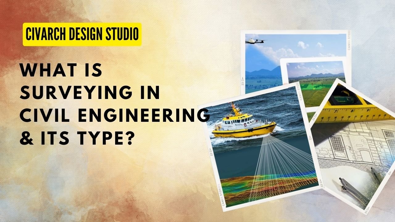
What is Surveying? Types of Surveying & Objective of Surveying ?
What is Surveying ?
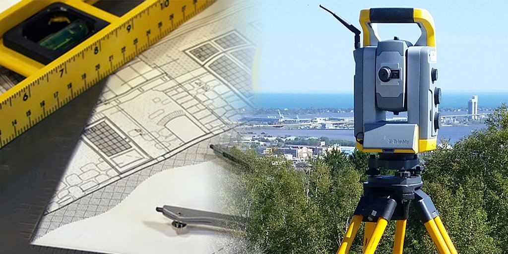
Surveying is the science of determining the relative position of a point on above and beneath the earth surface by different measures like Horizontal, Vertical, and Angular.
OR
Surveying is the branch of civil engineering which deals with measurement and mapping of the earth surface from different measures, The purpose of the surveying is to collect the information of the position of the point on earth surface to create a measurement and make a plan or map out of that result.
Surveying are used in Construction, Land Development, Planning of Projects, Record of land etc.
Objective of Surveying
The objective of surveying :
- Prepare a map or plan to represent an area on horizontal plane.
- Prepare a Layout Plan / Construction Layout
- Monitor and analysis of Surveying data
Types of Surveying ( on the basis of Curvature of Earth)
- Plane Surveying
- Geodetic Surveying
Plain Surveying
Plain surveying is a type of surveying where small surveying area is taken and mean surface of earth is considered as flat, Distance between two point is taken as straight line.
Triangle formed by survey line are plain triangle ( α + β + γ = 180°)
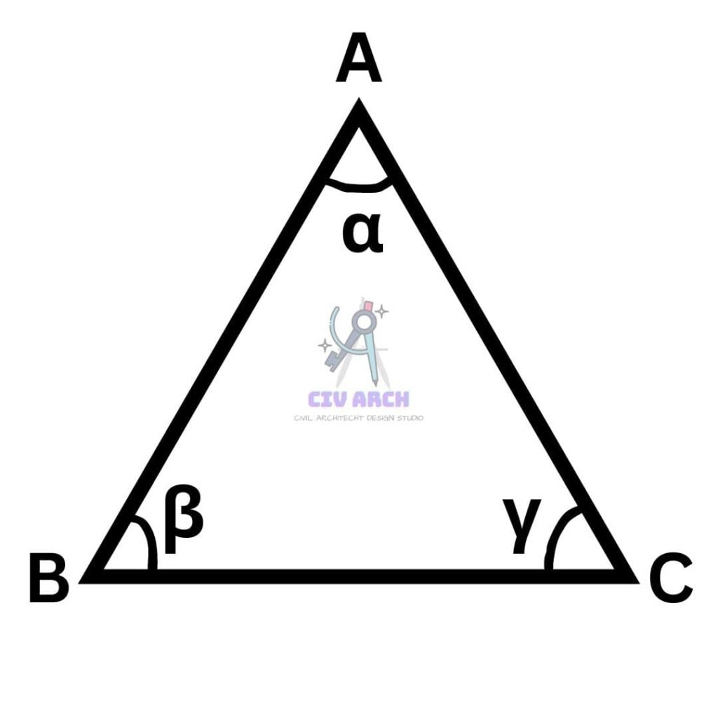
Plumb line are considered as parallel and plain surveying is suitable for an area less than 250km2
Geodetic Surveying
Geodetic surveying is a type of survey where a large area is taken and mean shape of the earth is considered as curved, Distance between two point is taken as curved or arch.
Triangle formed by survey line are spherical triangle, all plumb line are radial and assume to meet at center, Sum of geodetic triangle > 180°.
( α + β + γ = 540°)
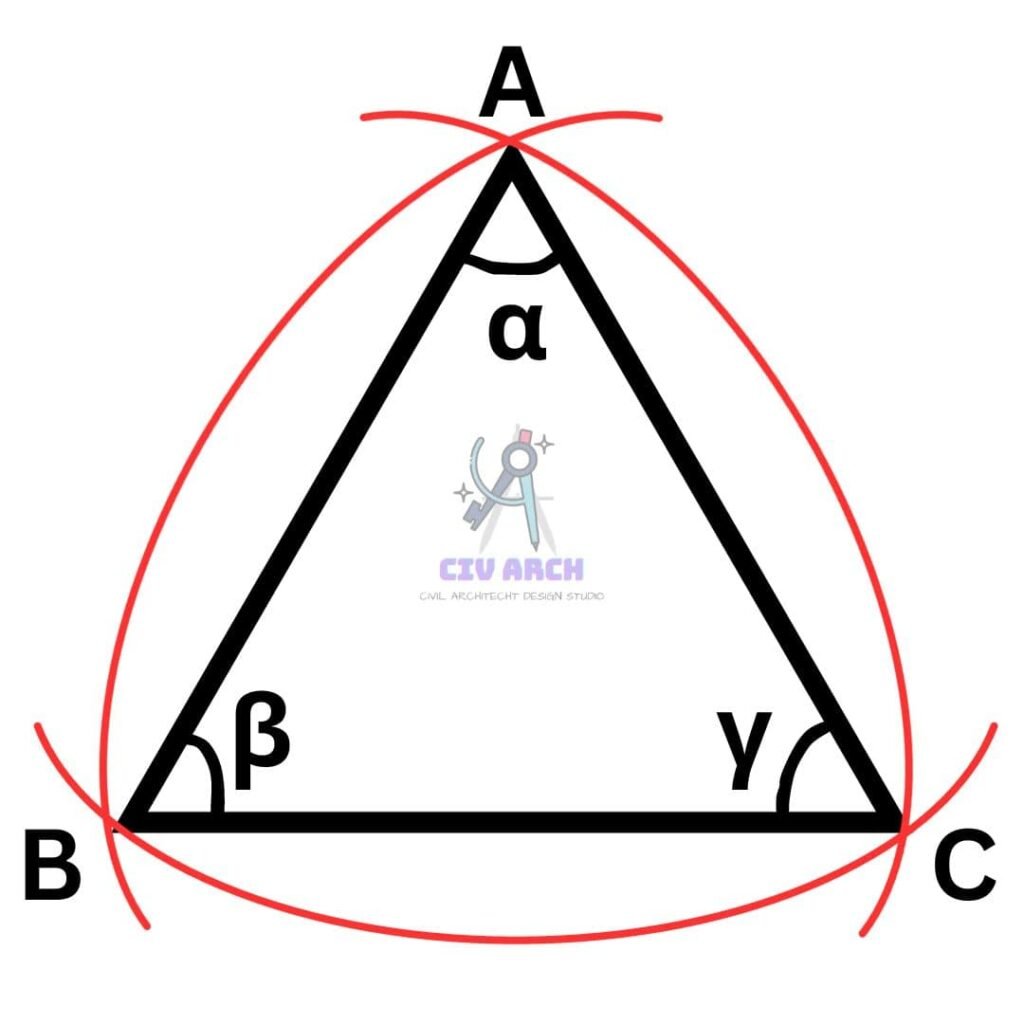
Geodetic surveying is suitable for an area of more than 250km2
NOTE :
- For any triangle with area 195.5 km2 sum of interior angle would be 1″(one second) more in geodetic survey.
- The Difference in length of arc and subtended chord on earth surface for distance 12 KM is about 1cm or 10 mm.
- The Difference in length of arc and its subtended chord on earth surface for distance of 18 KM is about 1.52 or 0.0152 m.
- Shape of Earth : Geoid ( Oblate Spherical)
- Polar Axis length : 12713.80 KM
- Equatorial Axis Length : 12756.75 KM ( Difference between Polar & Equatorial length is : 42.9 KM )
- Average Radius of Earth : 6371 KM
Types Of Surveying
- On the Basis of Place of Survey
- On the Basis of Objective
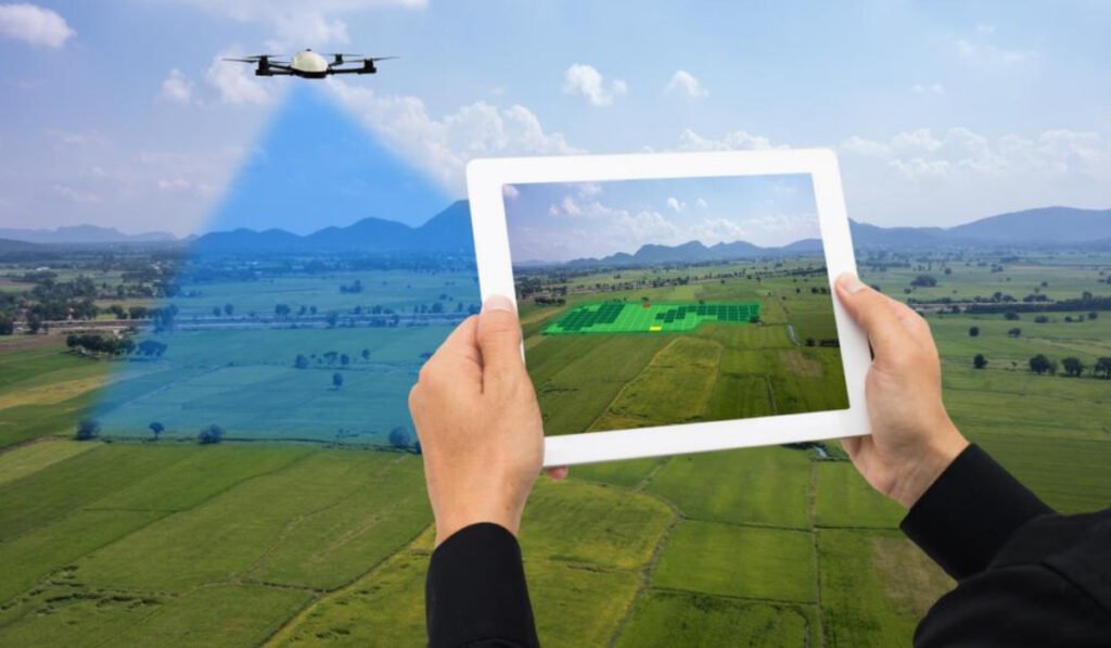
Types of Surveying ( on the basis of Place of Survey)
- Land Survey
- Hydrographic Survey
- Aerial Survey
- Astronomical Survey
LAND SURVEY
This survey is being done on land surface where all natural feature and man made feature is surveyed and marked on plan or in a map.
Land surveying is further divided into 3 categories
A. Topographical Survey. ( it denotes all natural and man made feature like River, Valley, Building)
B. Cadastral Survey. (it denotes boundary line of plot , Property line.)
C. City Survey. ( It denotes Roads, Water Pipeline, Sewer Pipes etc.)
HYDROGRAPHIC SURVEY / MARINE SURVEY
This survey deals with water body mainly for collecting details lie underwater and is done in purpose of navigation in water bodies.
Ariel Survey
This survey is carried out by taking photograph with camera and sensors with plane / Aircraft / Drone where cameras are fitted into them. These type of survey have high cost and is time efficient.
Astronomical Survey
This survey is Carried out for determining the absolute location of any point on surface of earth with the help of heavenly bodies. Example : Sun, Stars.
Type of Survey (on the basis of Objective)
- Engineering Survey
- Military Survey
- Geological Survey
- Archeological Survey
- Mine Survey
Engineering Survey
These Survey is done to provide sufficient data for designing of engineering project.
Like: Building, Flyover etc.
Military Survey
This survey is done for military purpose and for border roads.
Geological Survey
This survey is done to study different layers or strata of earth surface and collecting details of different layers of earth.
Archaeological Survey
This survey is done to collect information about Location, Distribution and Origination of past human civilization and culture across the large area.
Mine Survey
This survey is being carried out for exploration of new mine for coal, gold, Iron ore etc.
